
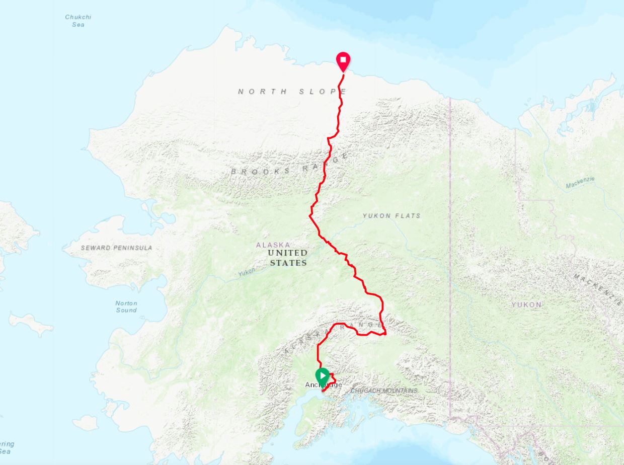
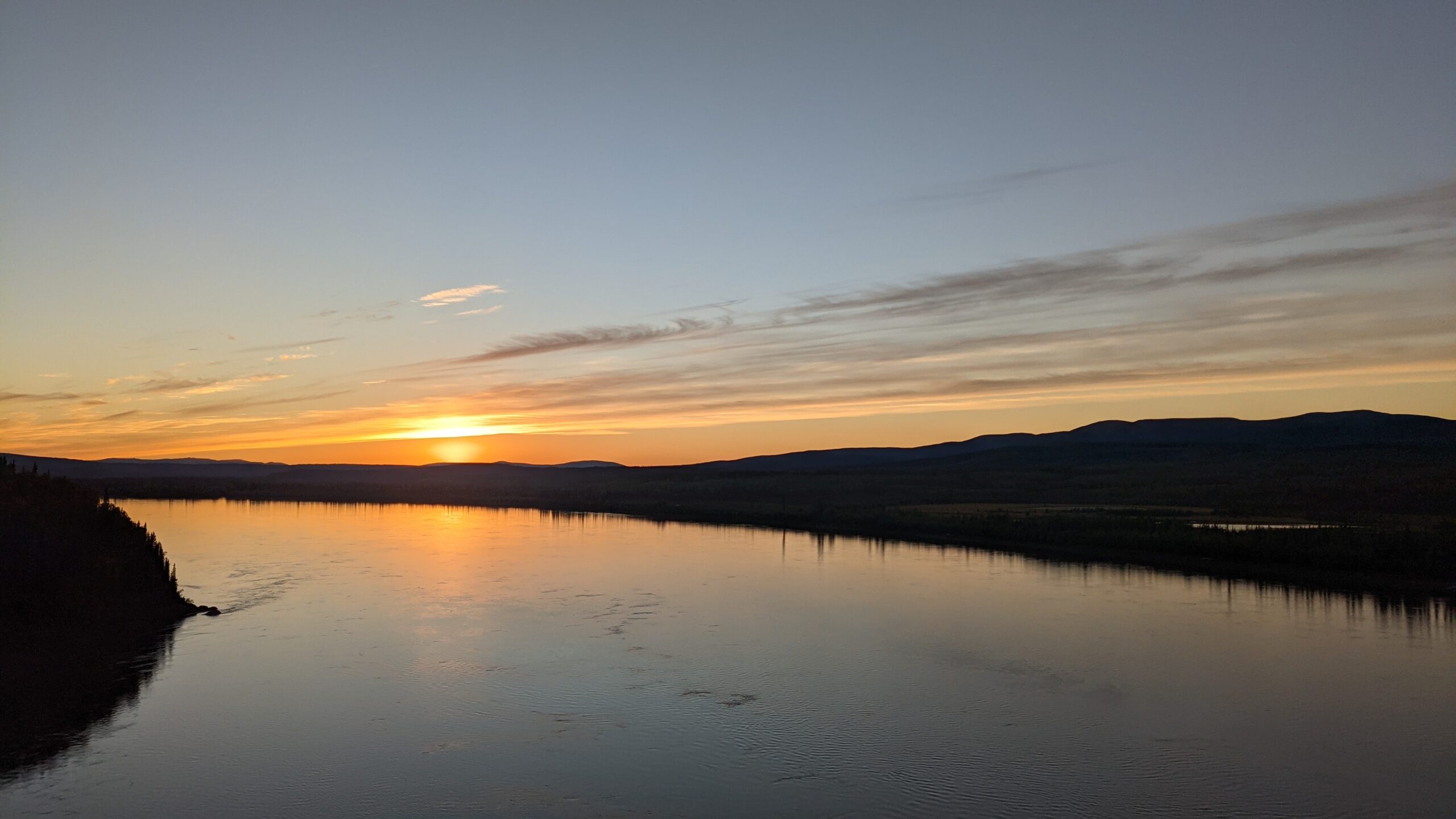
From Anchorage on the Cook Inlet to Deadhorse on Prudhoe Bay, the route will traverse the subarctic ecosystem of southern Alaska to the arctic tundra north of the Arctic Circle. The route will pass through some beautiful areas of Alaska, including some of the best places in the world to see the auroras of the Northern Lights.
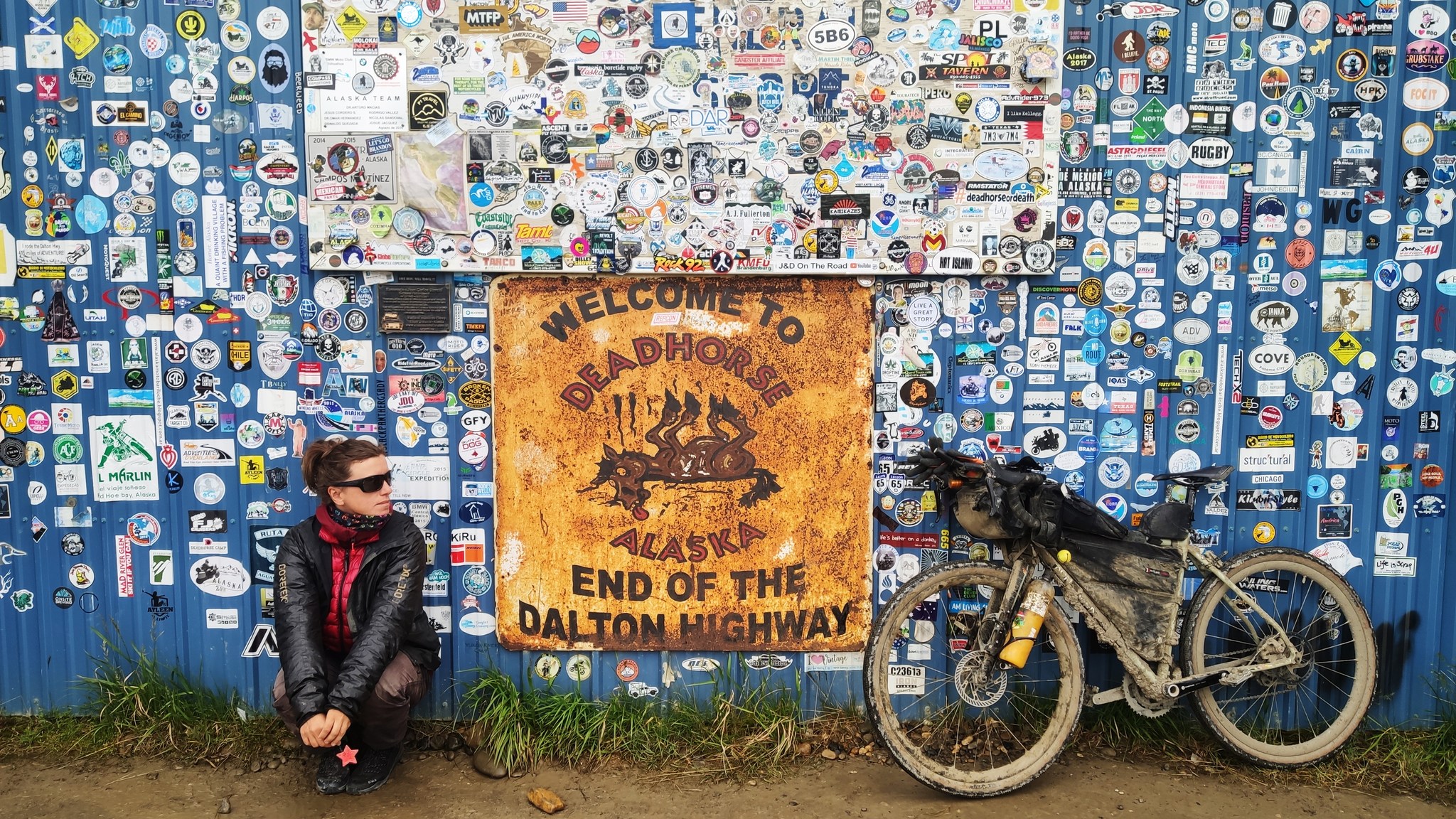
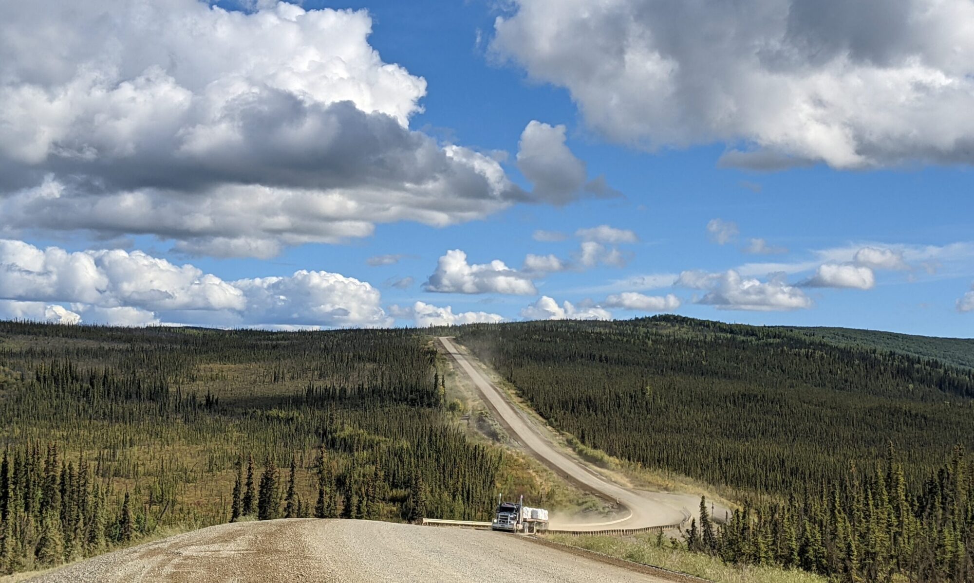
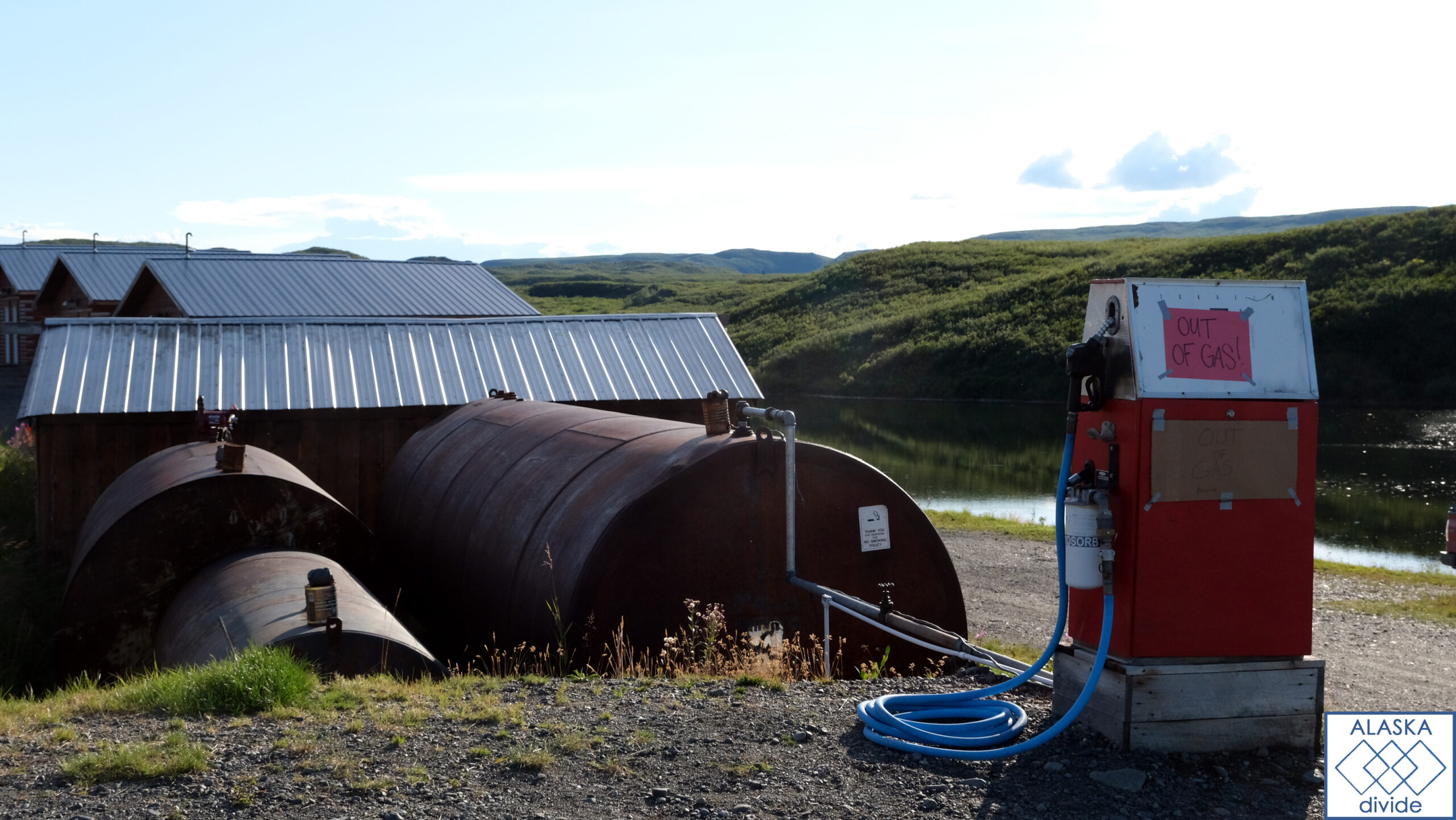
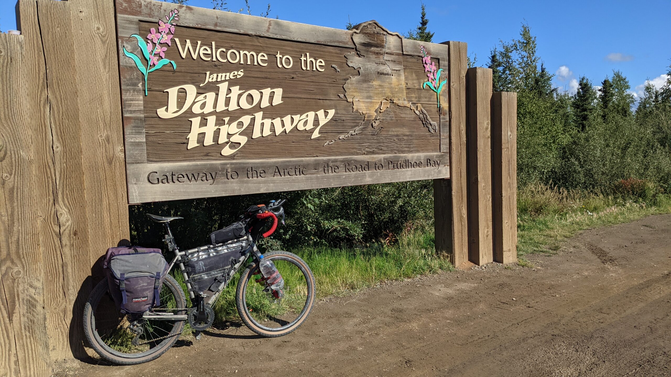
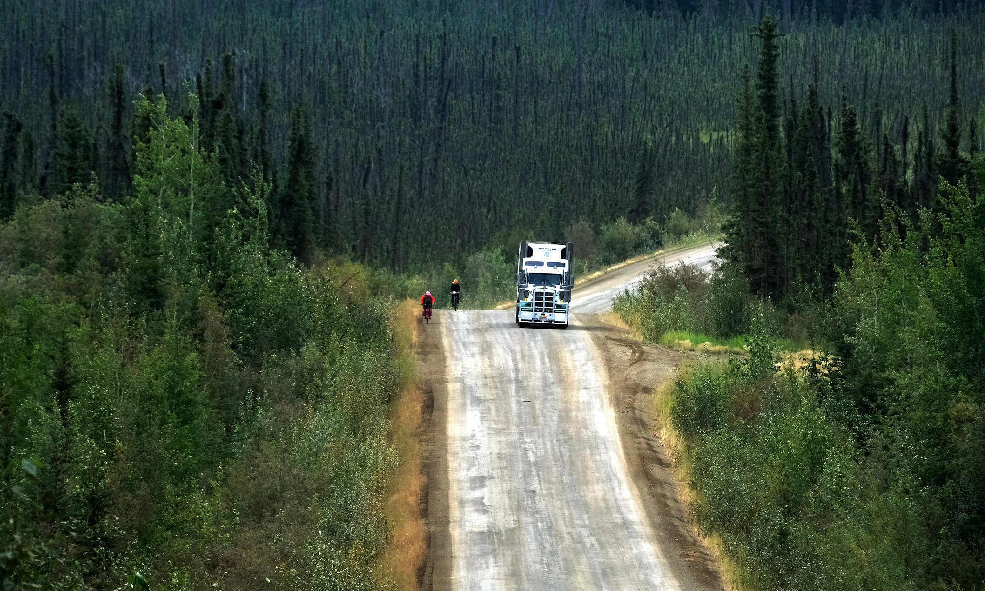
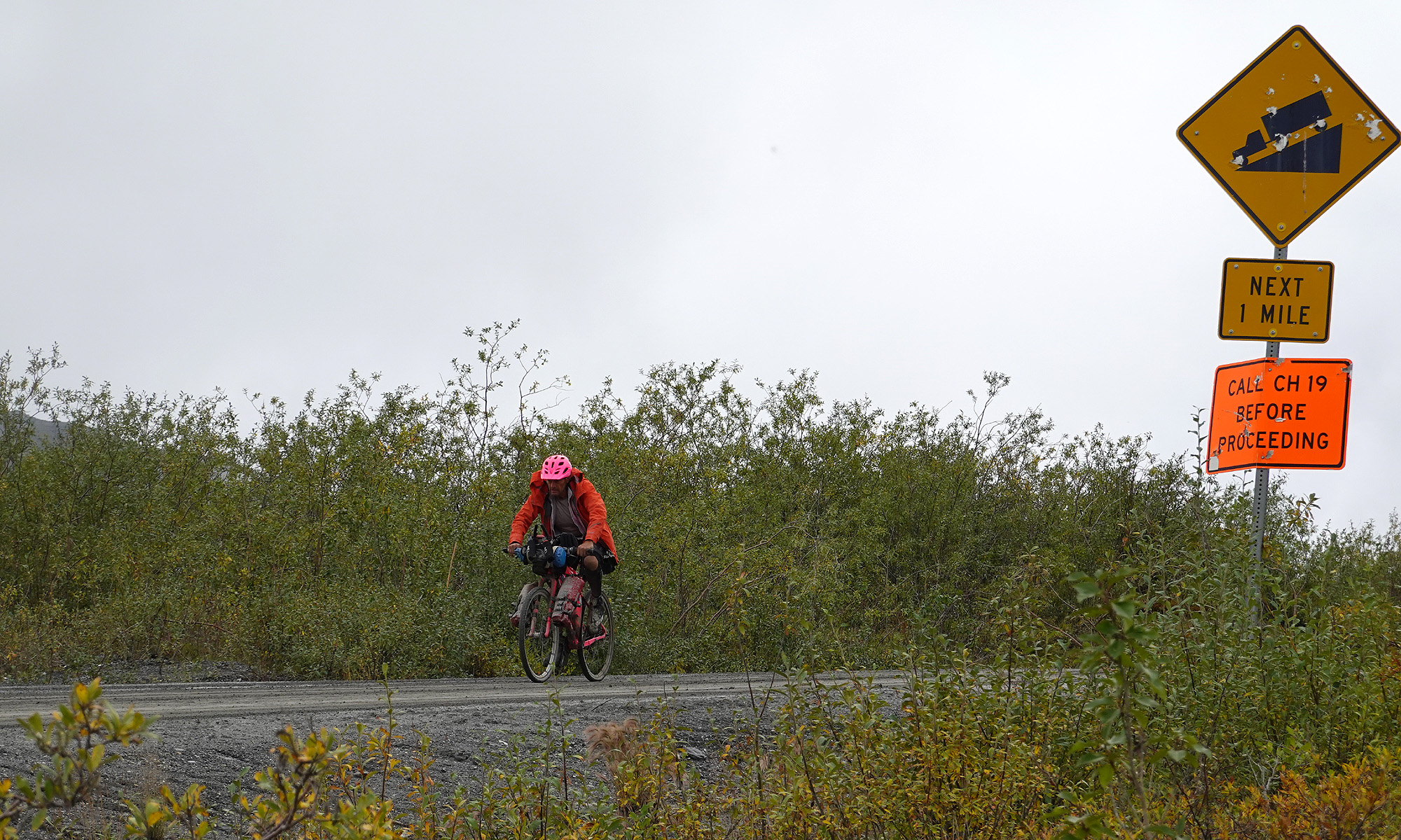
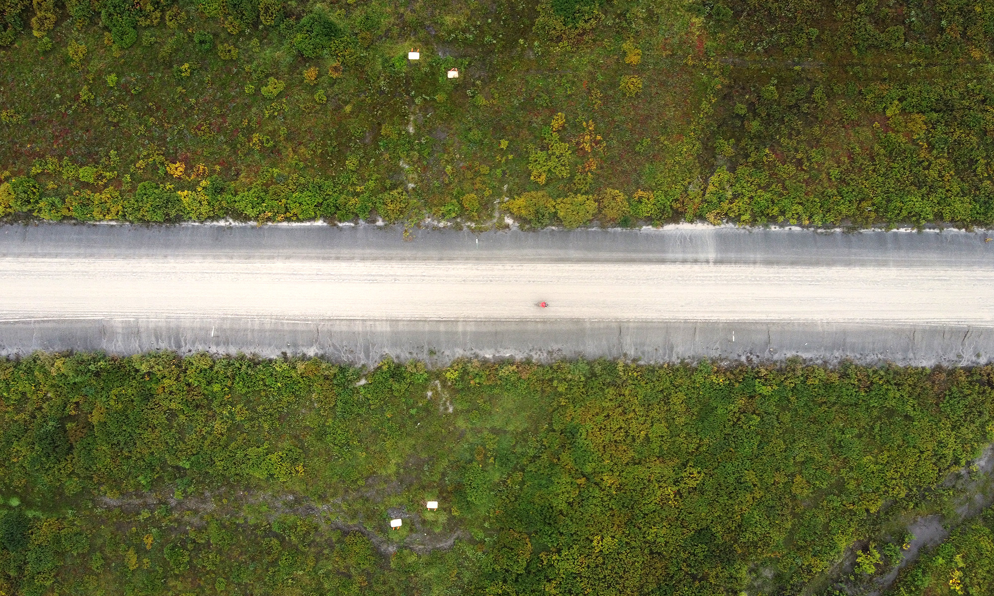
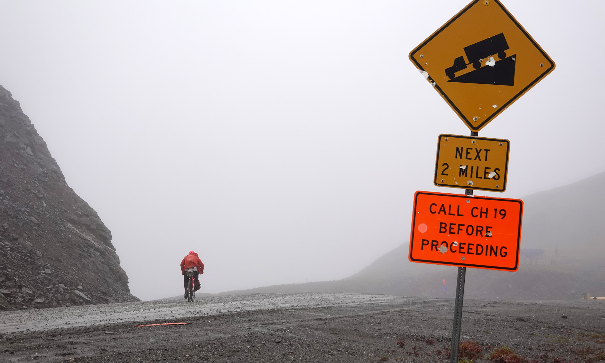
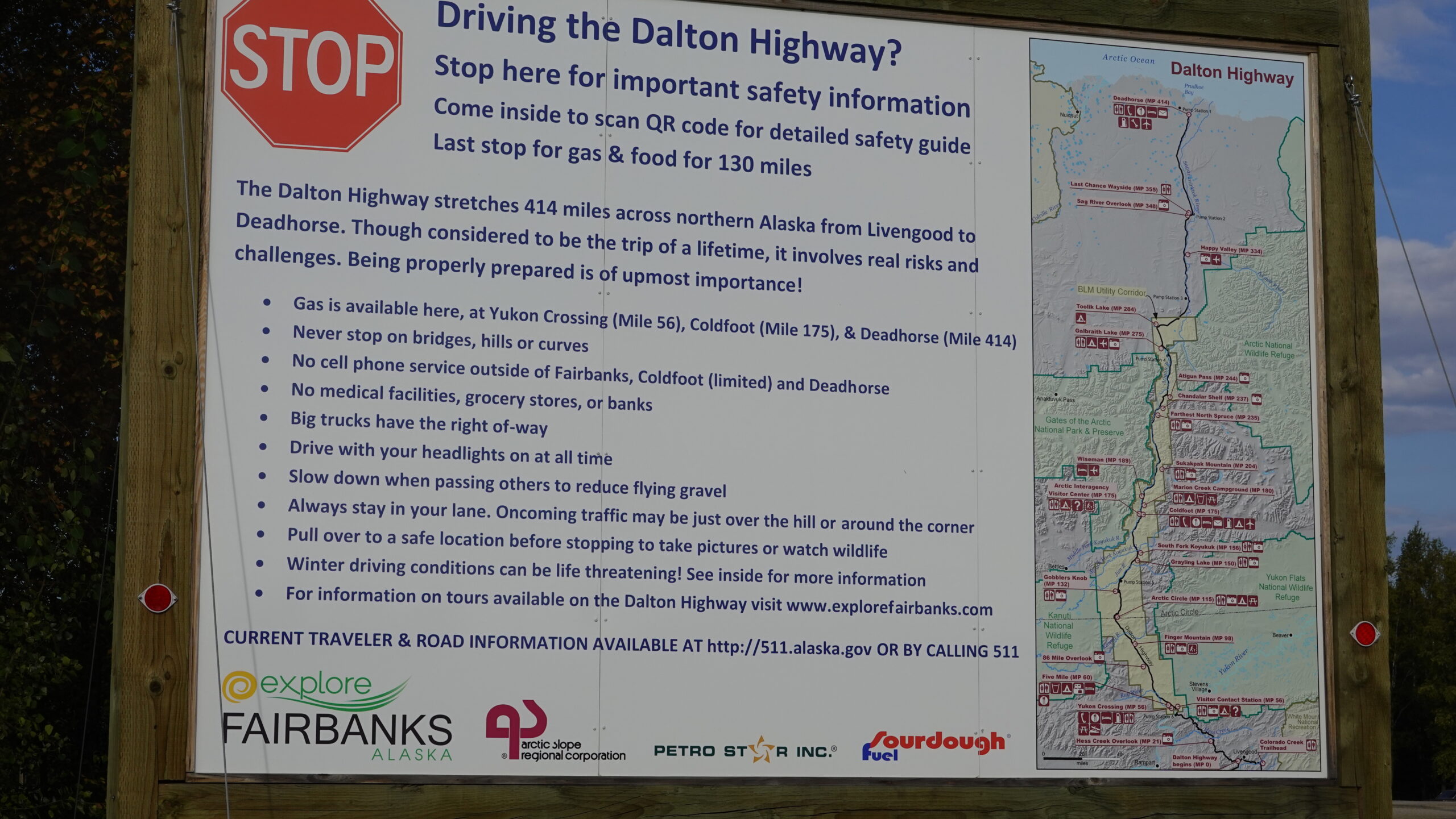
The Dalton Highway is a highlight of the route and a unique road for many reasons. It was built as a haul road for large trucks traveling from Fairbanks to the oil fields near Prudhoe Bay. The stretch of the Dalton Highway from Fairbanks to Deadhorse is extremely remote, especially beyond the Arctic Circle. Three settlements are found along the Dalton: Coldfoot (population of 10 people), Wiseman (pop. 22) and Deadhorse (pop. 25 permanent, up to 3000 seasonal industry workers depending on oil production). From Coldfoot to Deadhorse is 220+ miles of remote gravel road with no services of any kind.
Largely uninhabited by humans, Northern Alaska is home to Brown, Polar, and Black bears as well as moose and other large mammals. Care should be taken to avoid encounters with these animals.
In summer 2022 until middle of August that marks the end of the summer season, road workers counted about 20 cyclists on the Dalton Hwy.
Overview:
- Start: Anchorage, Alaska
- Finish: Deadhorse, Alaska
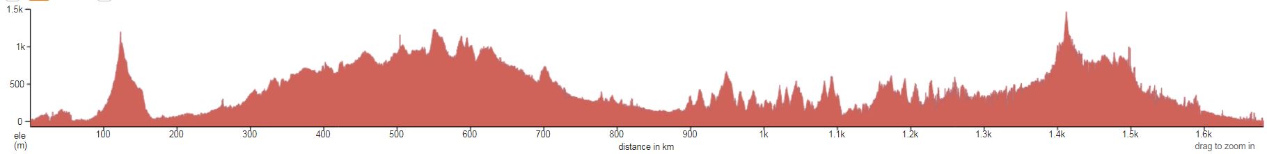
- Length: 1056 miles (1700 kilometers)
- Elevation Gain: about 58,070 feet (17,700 meters)
- Highest point: Atigun Pass at the Continental Divide – 4739 feet (1444 meters)
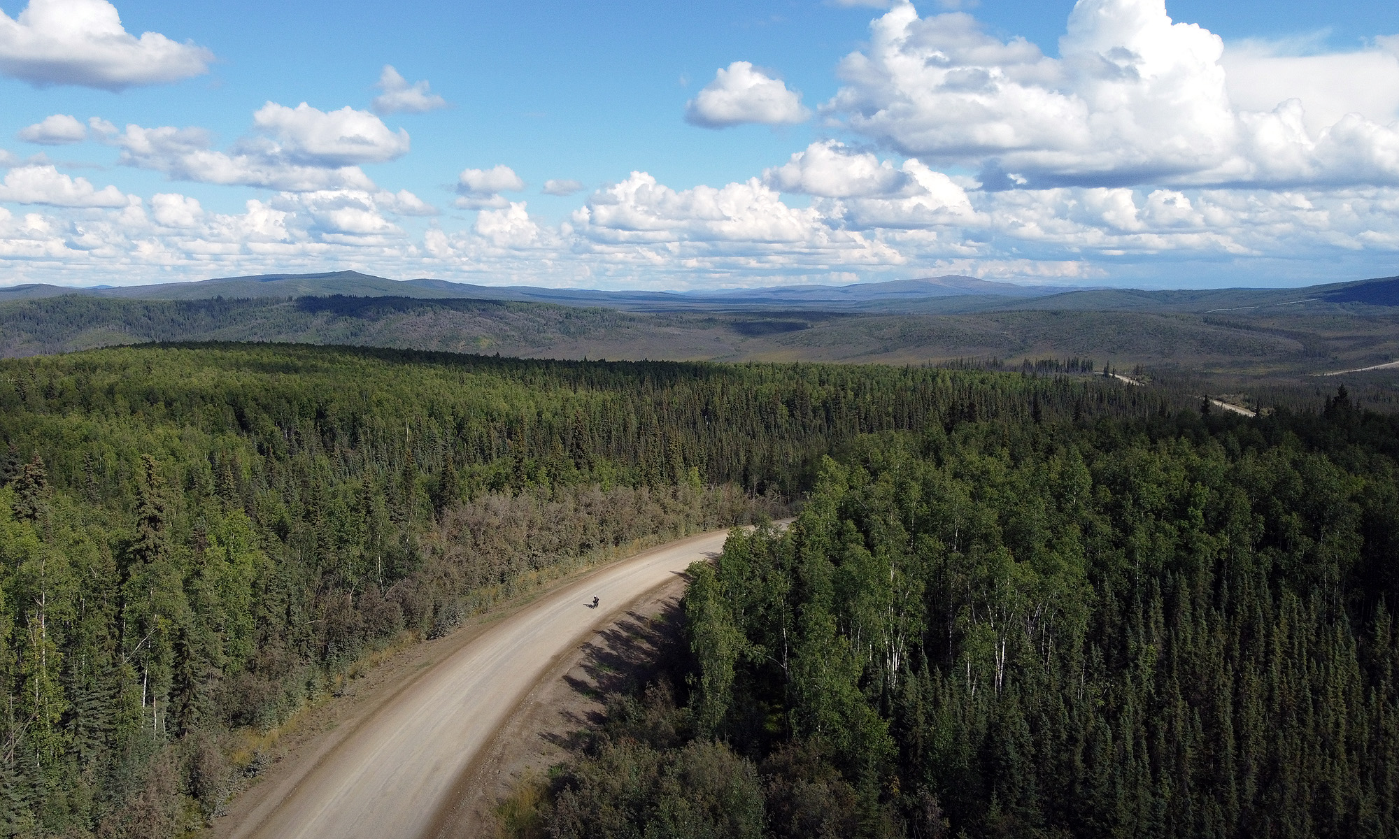
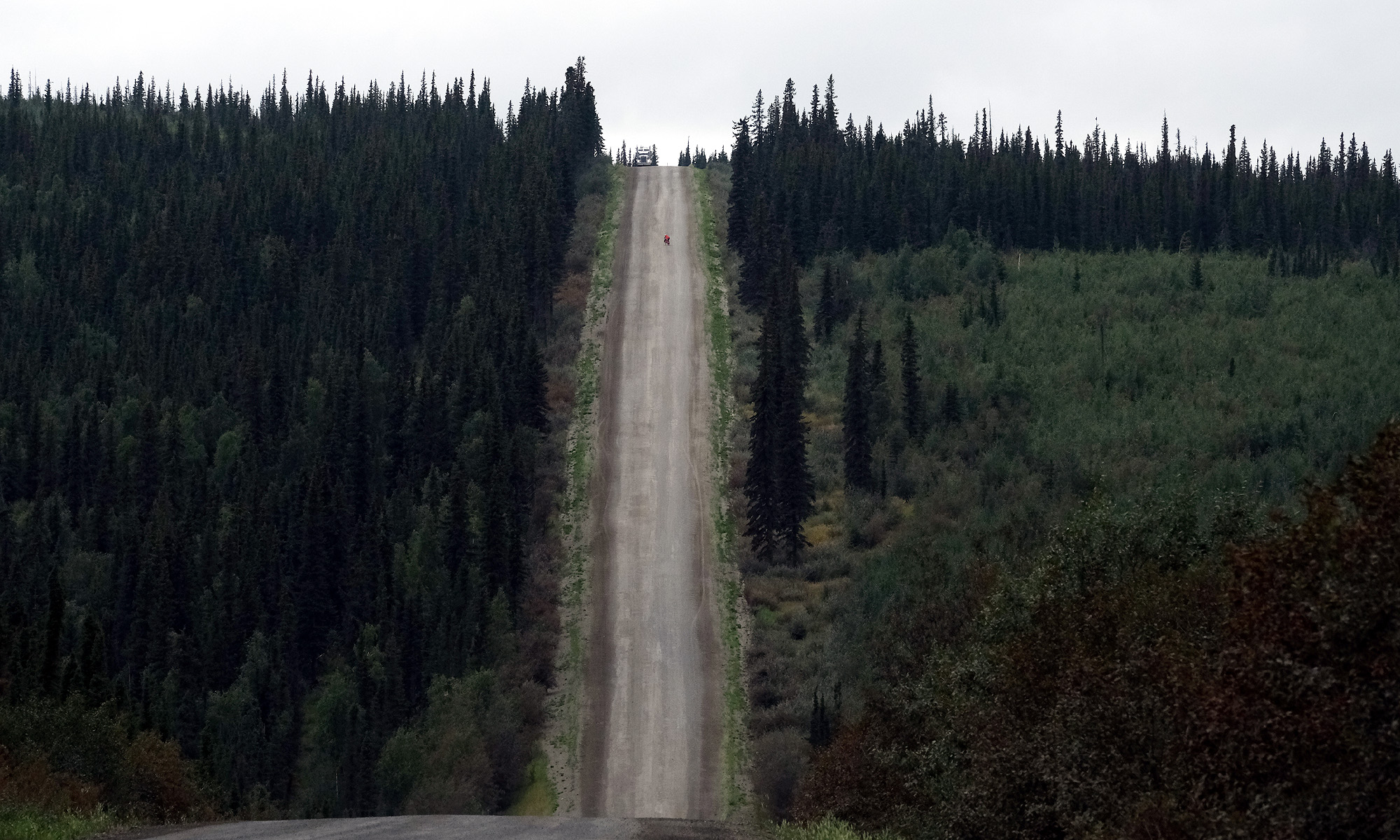
- Surface: gravel road and pavement of varying condition
Route description
Anchorage to Palmer
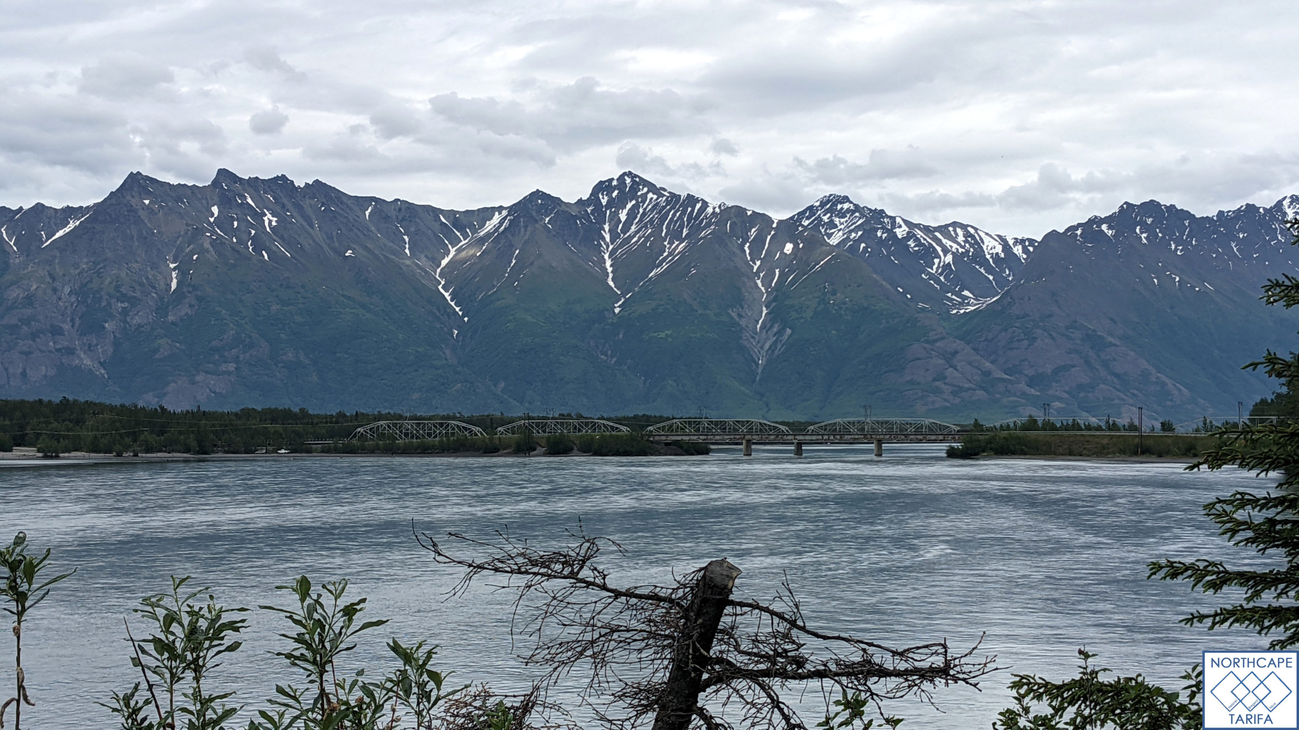
Begin your journey in Anchorage, a bustling city nestled between the Chugach Mountains and Cook Inlet. As you pedal north towards Palmer, you’ll traverse scenic, quiet highways with views of snow-capped peaks and expansive glaciers. This leg offers a mix of paved roads and gentle climbs, perfect for soaking in Alaska’s natural beauty.
Resupply: Stock up on supplies in Anchorage or make a pit stop in Palmer before heading towards Hatcher Pass.
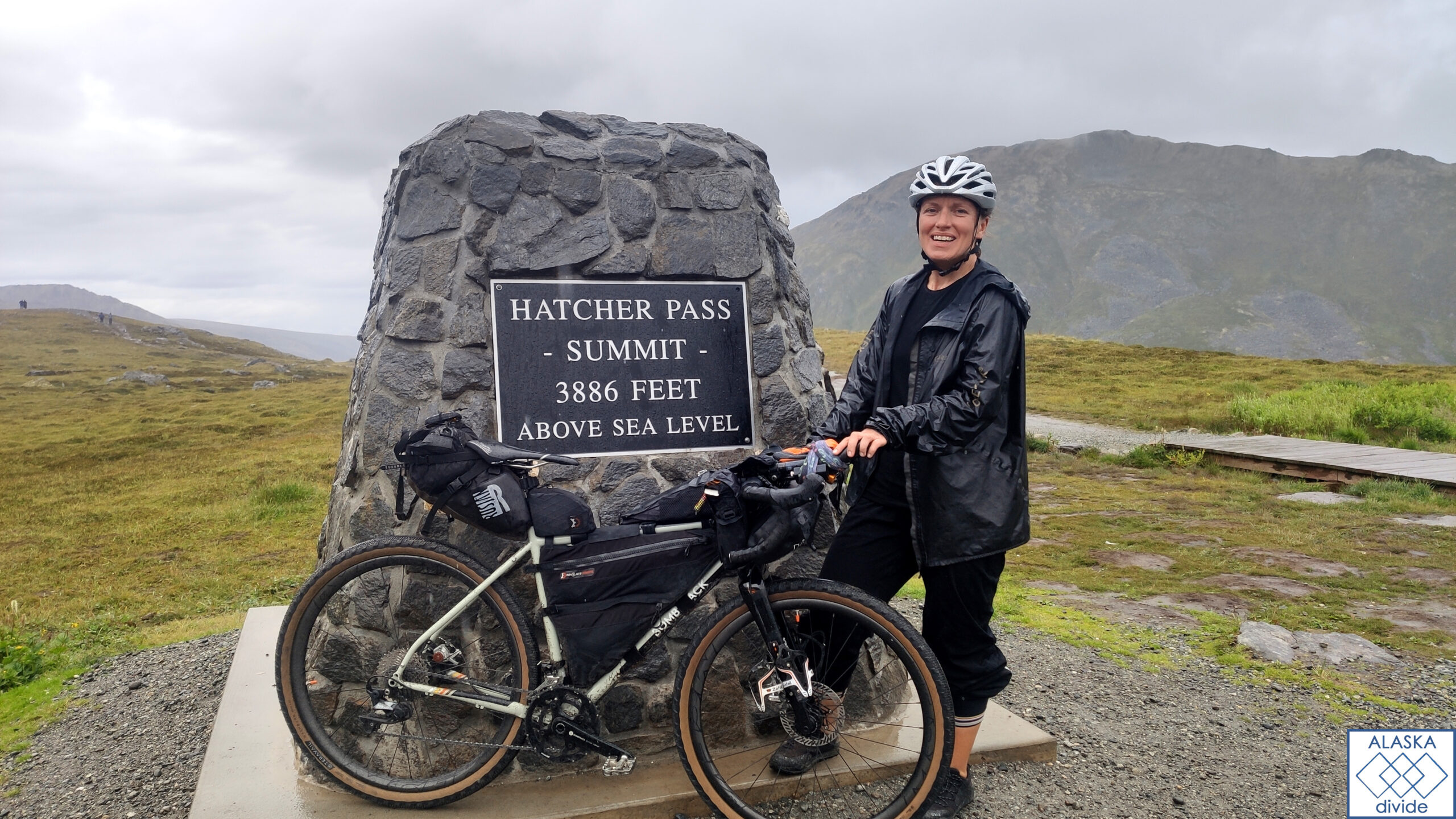
Hatcher Pass
Departing from Palmer, head east towards Hatcher Pass, a rugged mountain pass rich in mining history. The route includes challenging climbs but rewards with panoramic views of alpine meadows and remnants of old gold mines. The gravel road adds an adventurous twist, suitable for seasoned cyclists seeking a remote, off-the-grid experience.
Descending from Hatcher Pass to Willow is a thrilling experience. The route is long and fast, offering breathtaking views of the surrounding mountains and valleys. As you descend, the scenery transitions from rugged alpine terrain to lush forests. The descent quickly brings you into Willow, where you can resupply at a small café that doubles as a pit stop for the famous Iditarod Race. The descent from Hatcher Pass to Willow covers an elevation drop of approximately 1,067 meters (3,500 feet). Hatcher Pass sits at an elevation of about 1,178 meters (3,865 feet), while Willow is situated at around 111 meters (365 feet) above sea level.
Willow to Cantwell
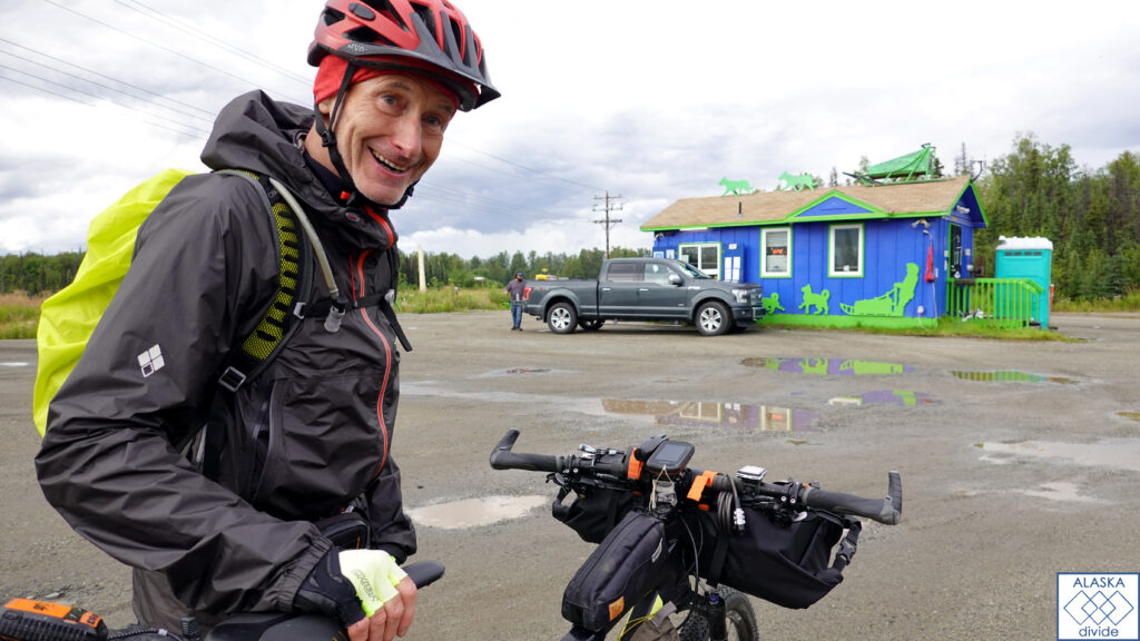
From Willow, pedal north towards Cantwell through expansive forests and alongside winding rivers. This stretch offers smooth, fast paved roads, catering to adventurers who relish the solitude of Alaska’s wilderness. Keep an eye out for wildlife like moose and bears that inhabit this pristine landscape.
Resupply & Sleep: Willow serves as a good resupply point. In Cantwell, enjoy rustic lodges or opt for camping under the Northern Lights, weather permitting.
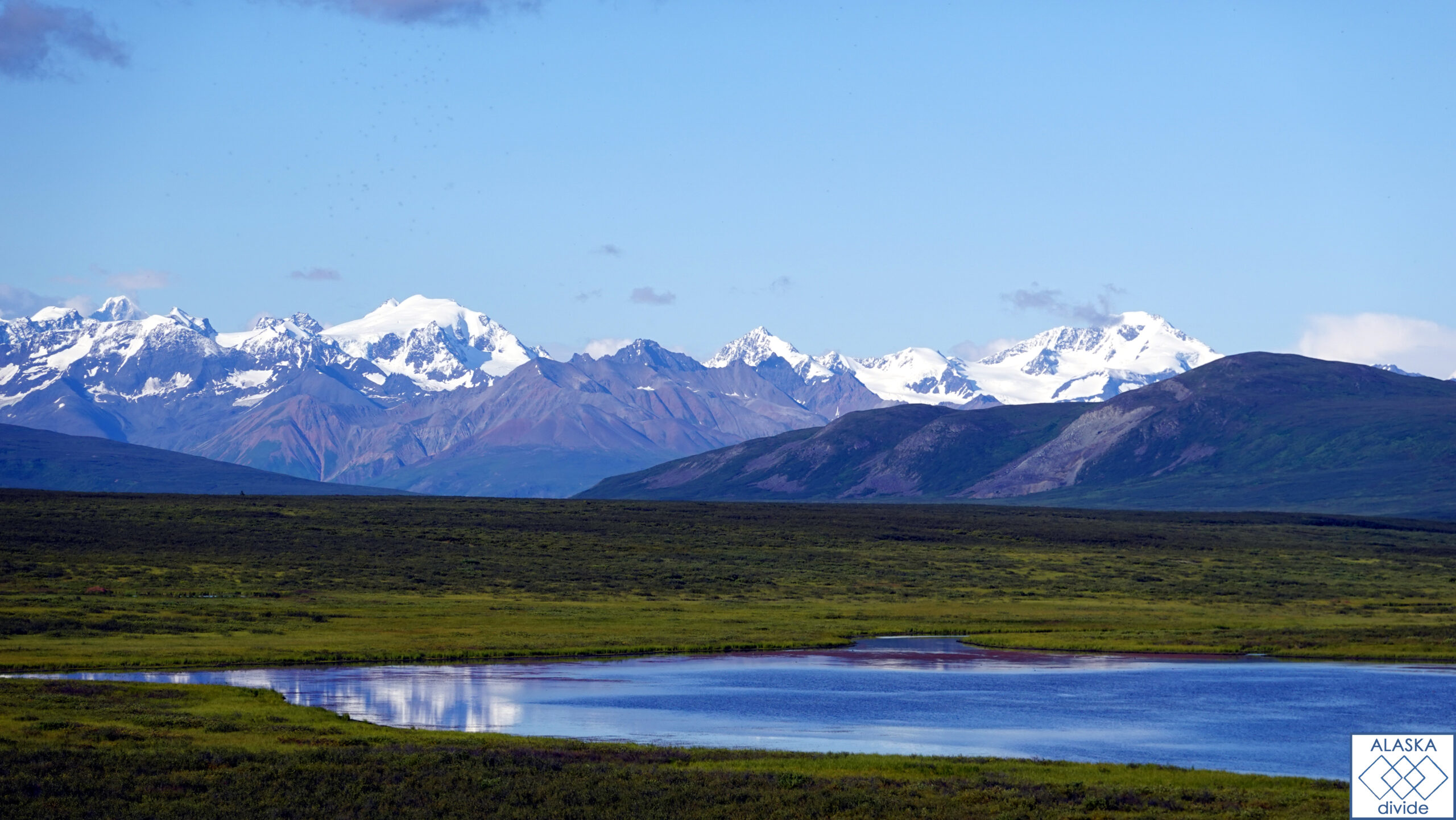
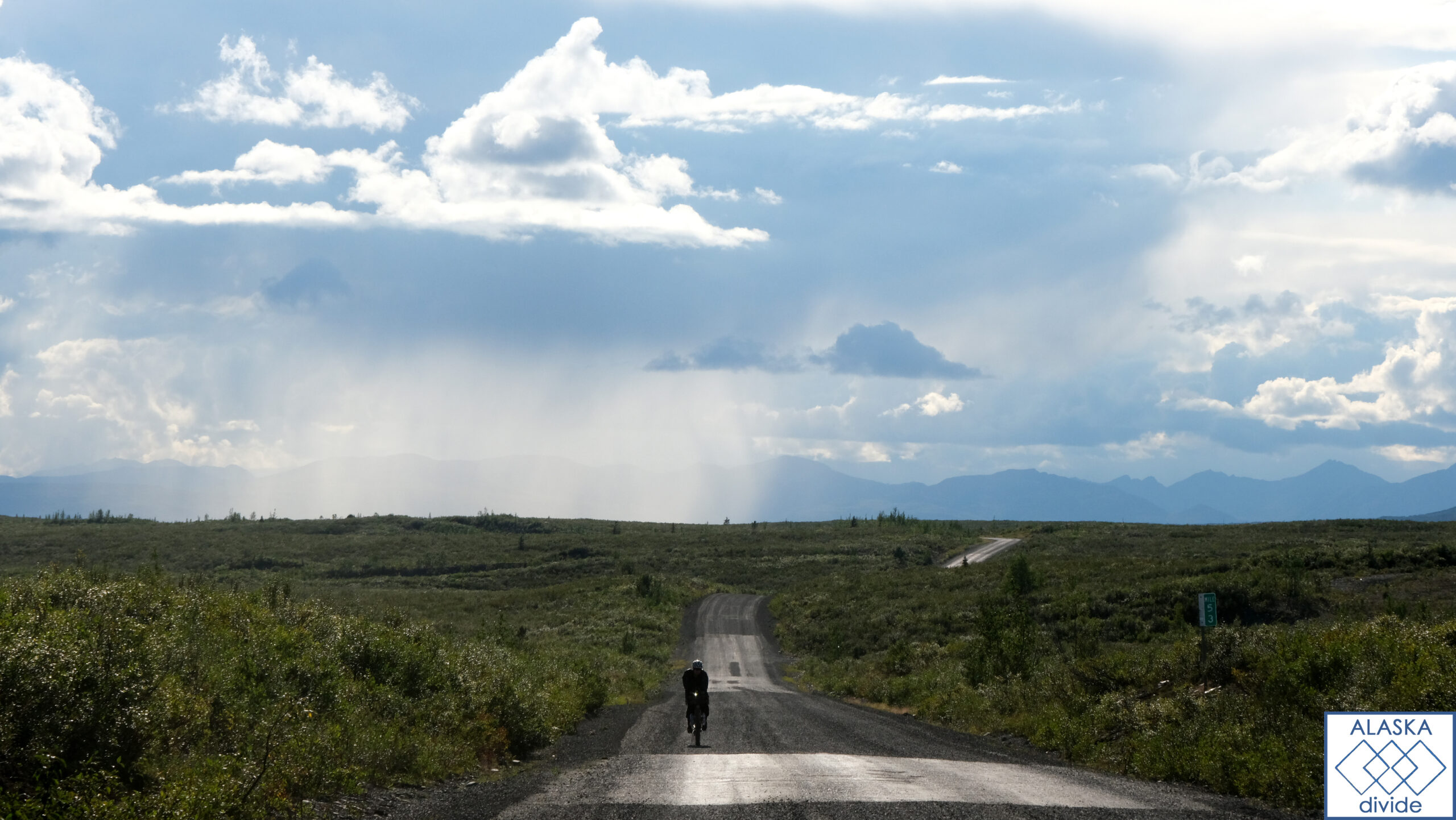
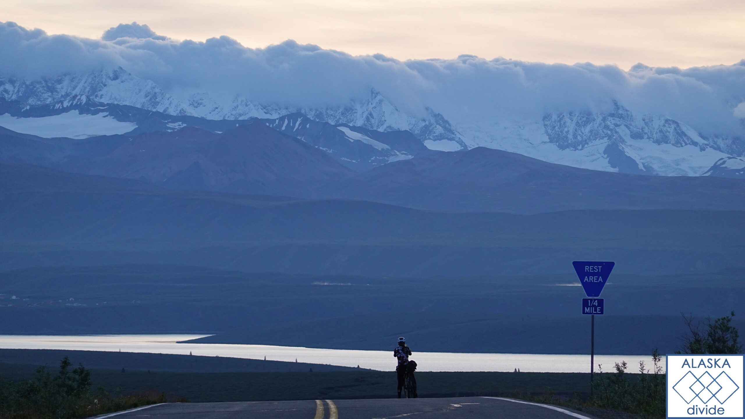
Denali Highway
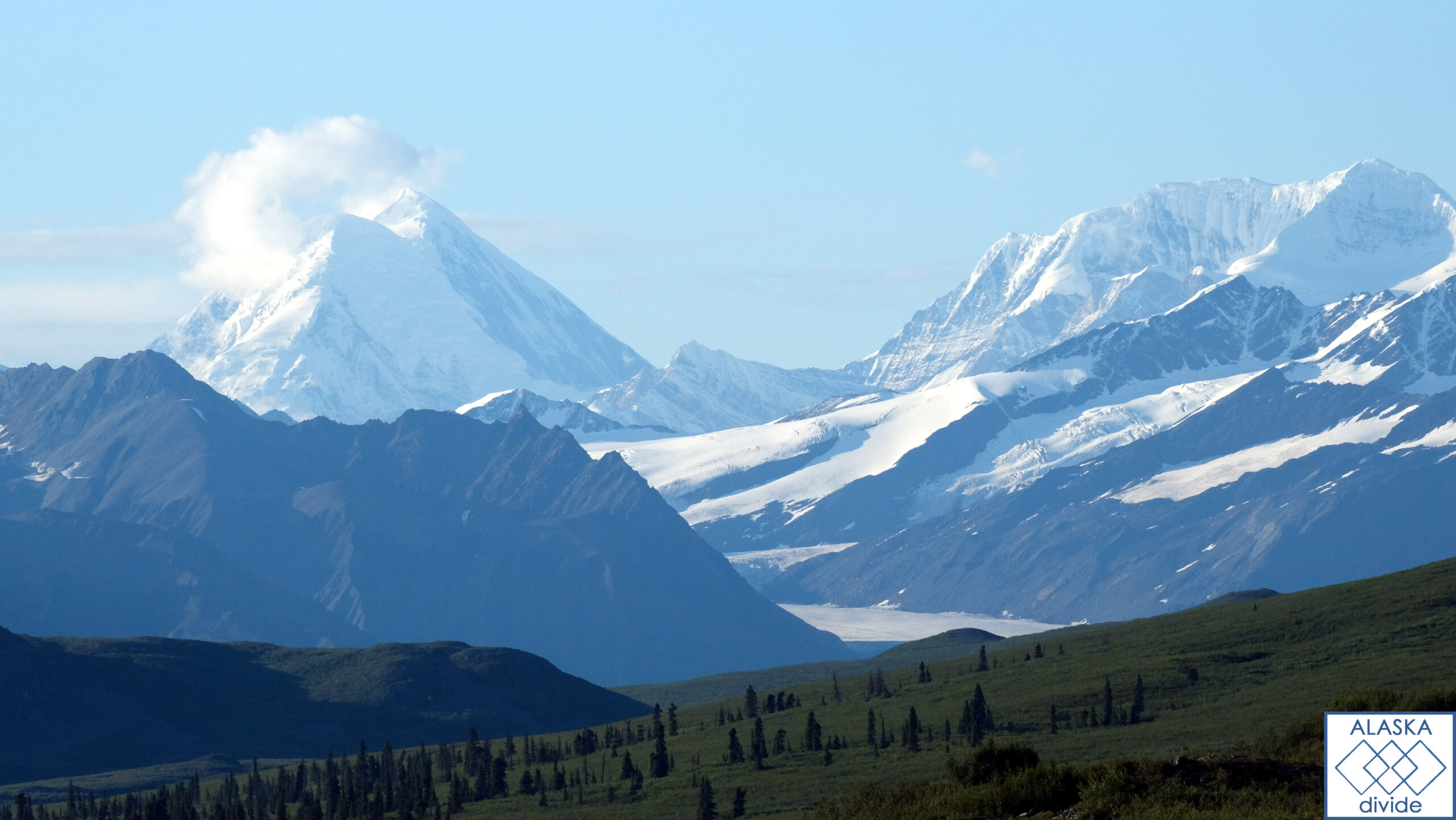
The Denali Highway is a legendary route offering cyclists a true taste of Alaska’s wilderness. Stretching through tundra landscapes and crossing over glacial rivers, this gravel road connects Cantwell to Paxson. Prepare for challenging climbs and remote camping opportunities amidst sweeping views of the Alaska Range and Mt. Denali.
Resupply & Sleep: Stock up in Cantwell before embarking on the highway. Camping is the primary option along the route, with designated campgrounds and scenic spots for overnight stays.
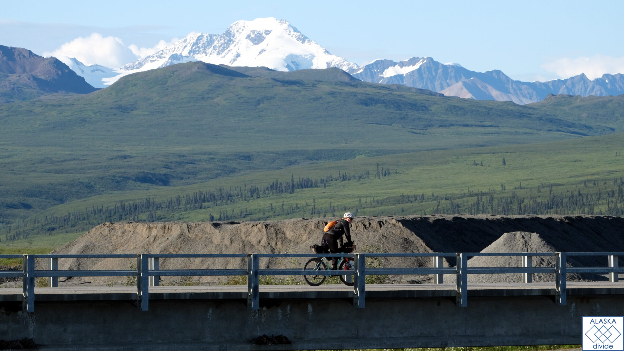
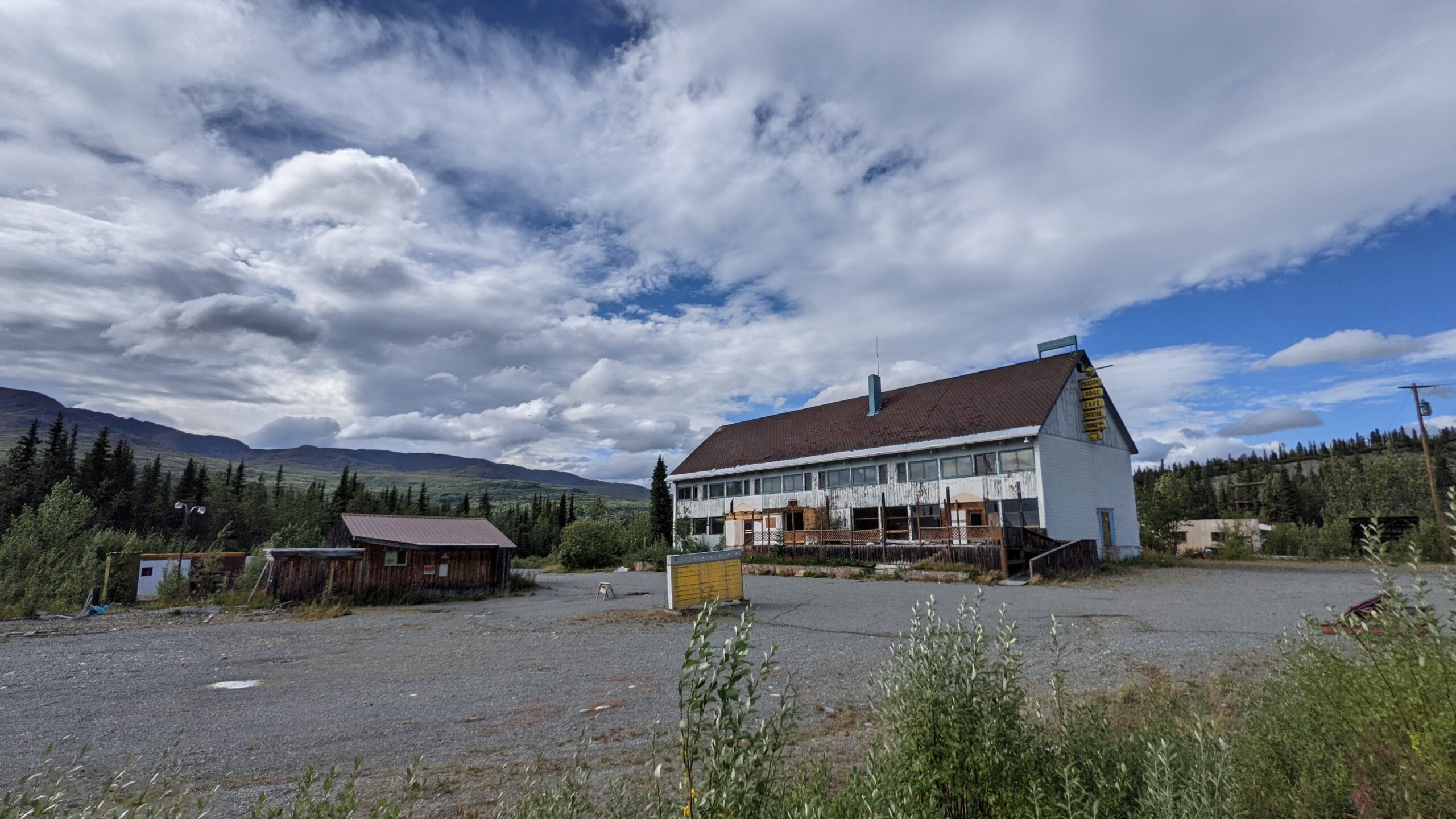
Paxson to Fox
Departing from Paxsons, a ghost town with no resupply options, head towards Fox along the Richardson Highway. You’ll pass through valleys flanked by towering peaks and pristine lakes. The route includes rolling hills and smooth pavement, ideal for cyclists looking to enjoy Alaska’s diverse landscapes.
Resupply & Sleep: Paxsons offers no resupply options. Delta Junction, North Pole, and Fairbanks (near Fox) provide larger options for resupplying and accommodation.
Elliott Highway
Connect Fairbanks (North Pole) to Livengood via the Elliott Highway, where cyclists can enjoy paved roads through boreal forests and vast expanses of Interior Alaska. This route offers moderate climbs and opportunities to spot wildlife like caribou and Dall sheep.
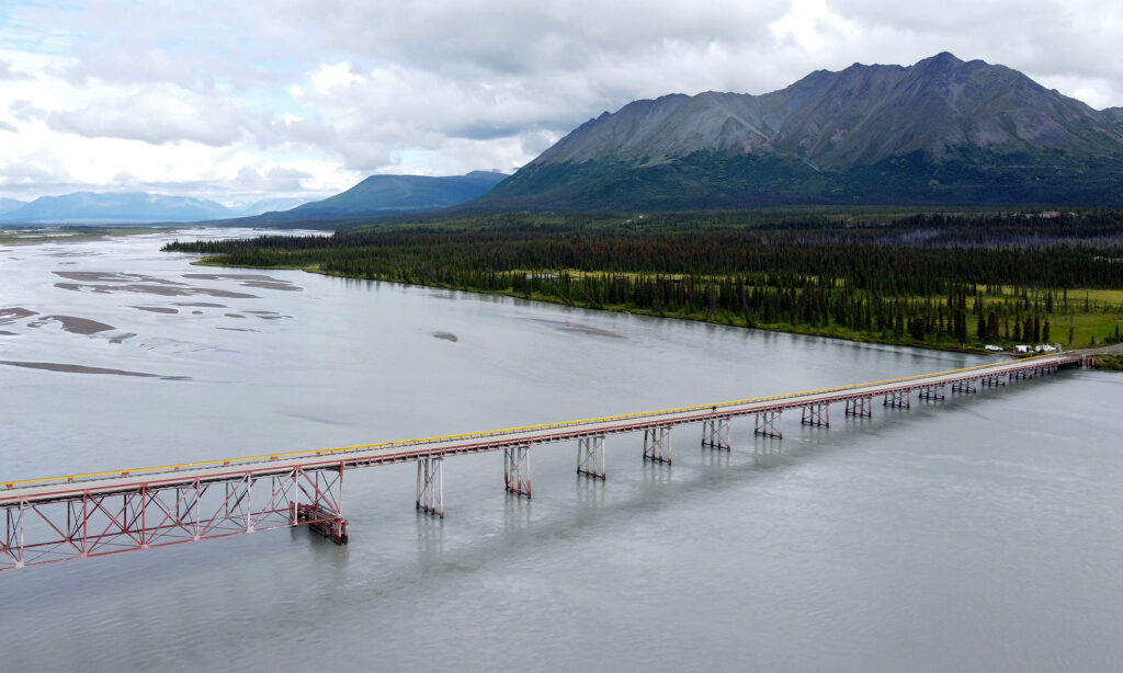
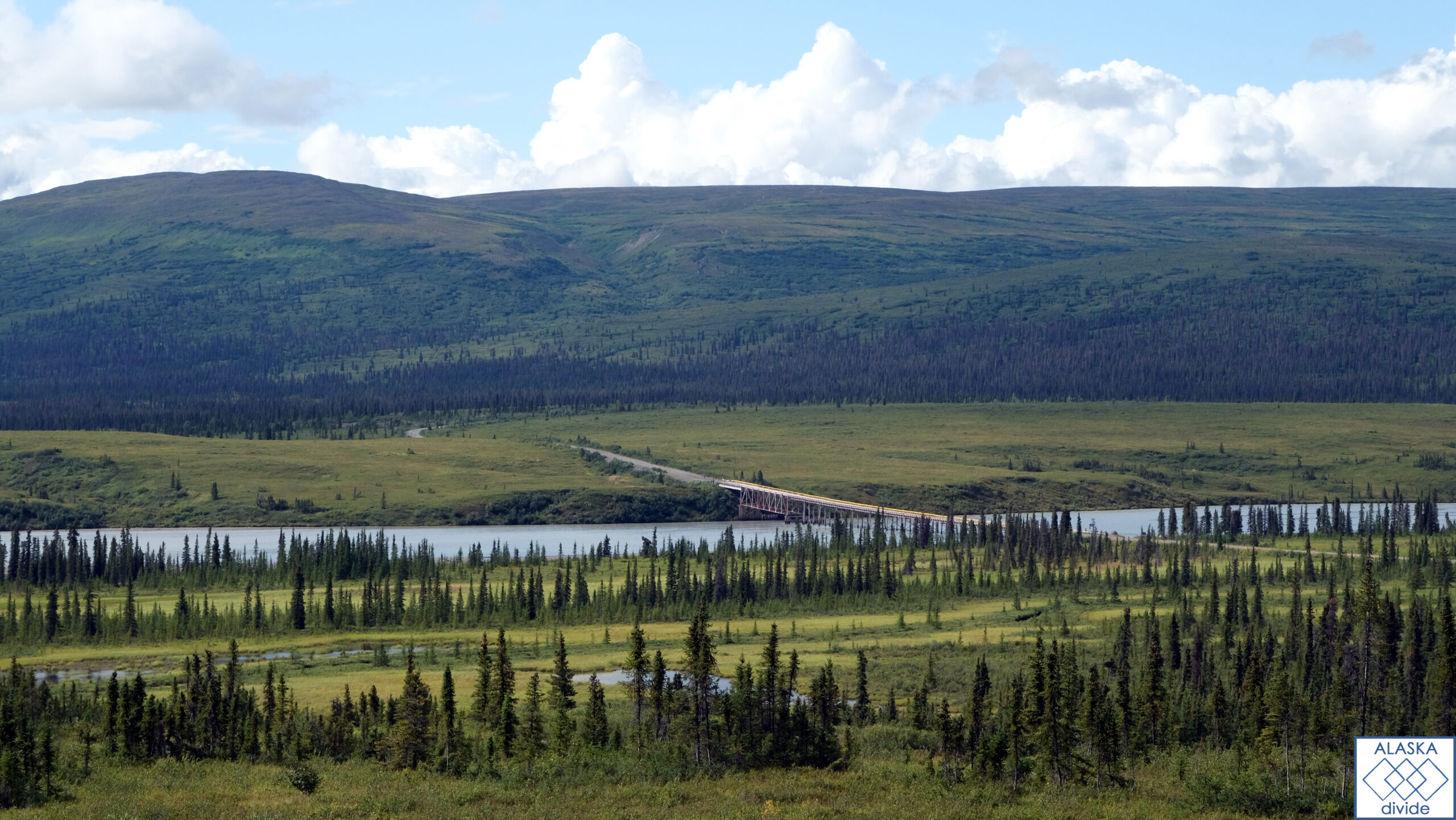
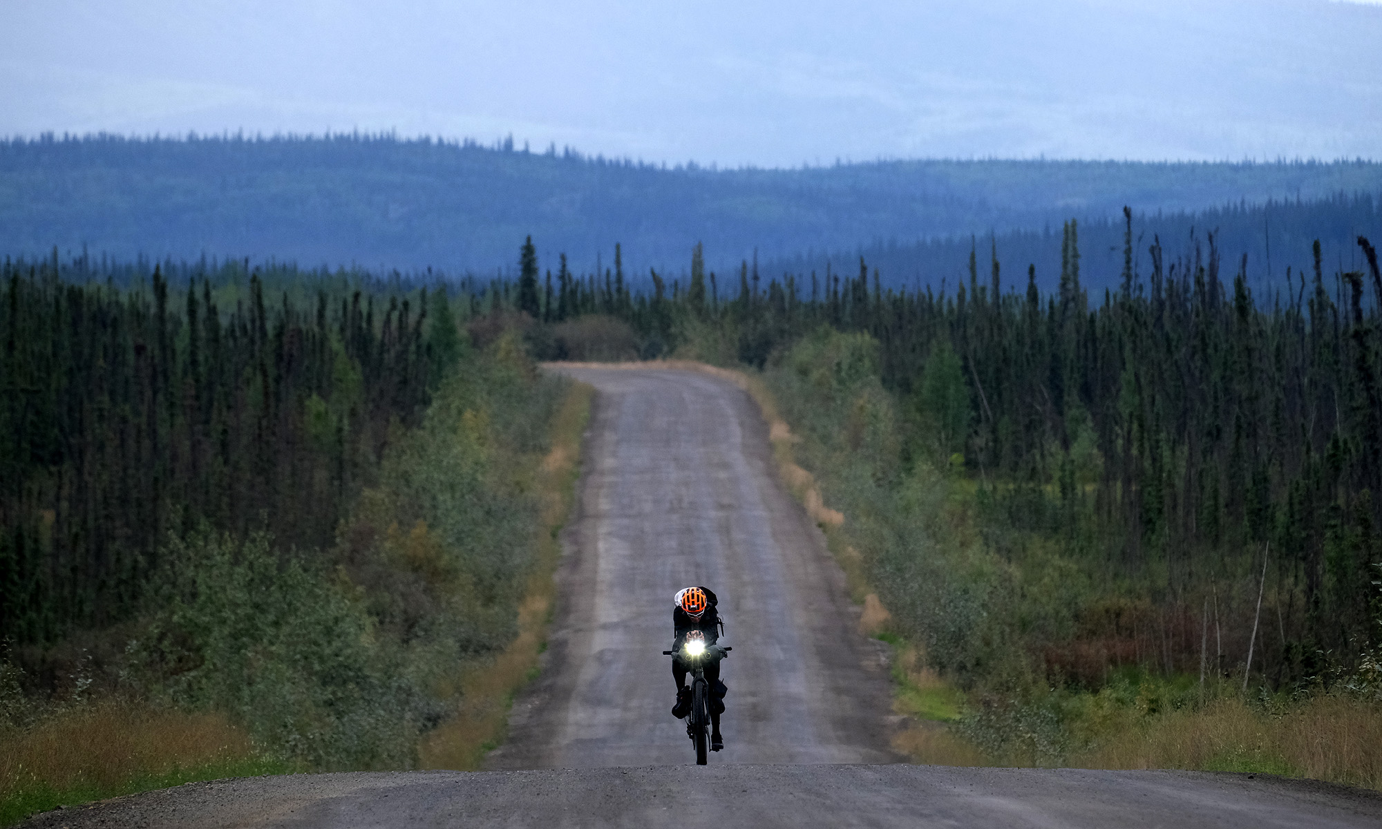
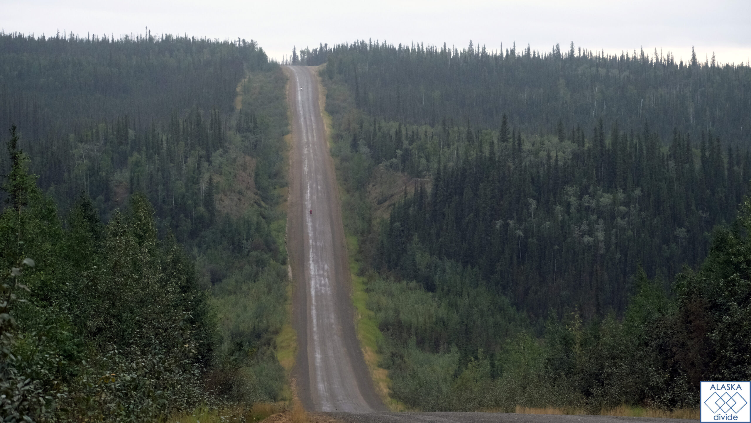
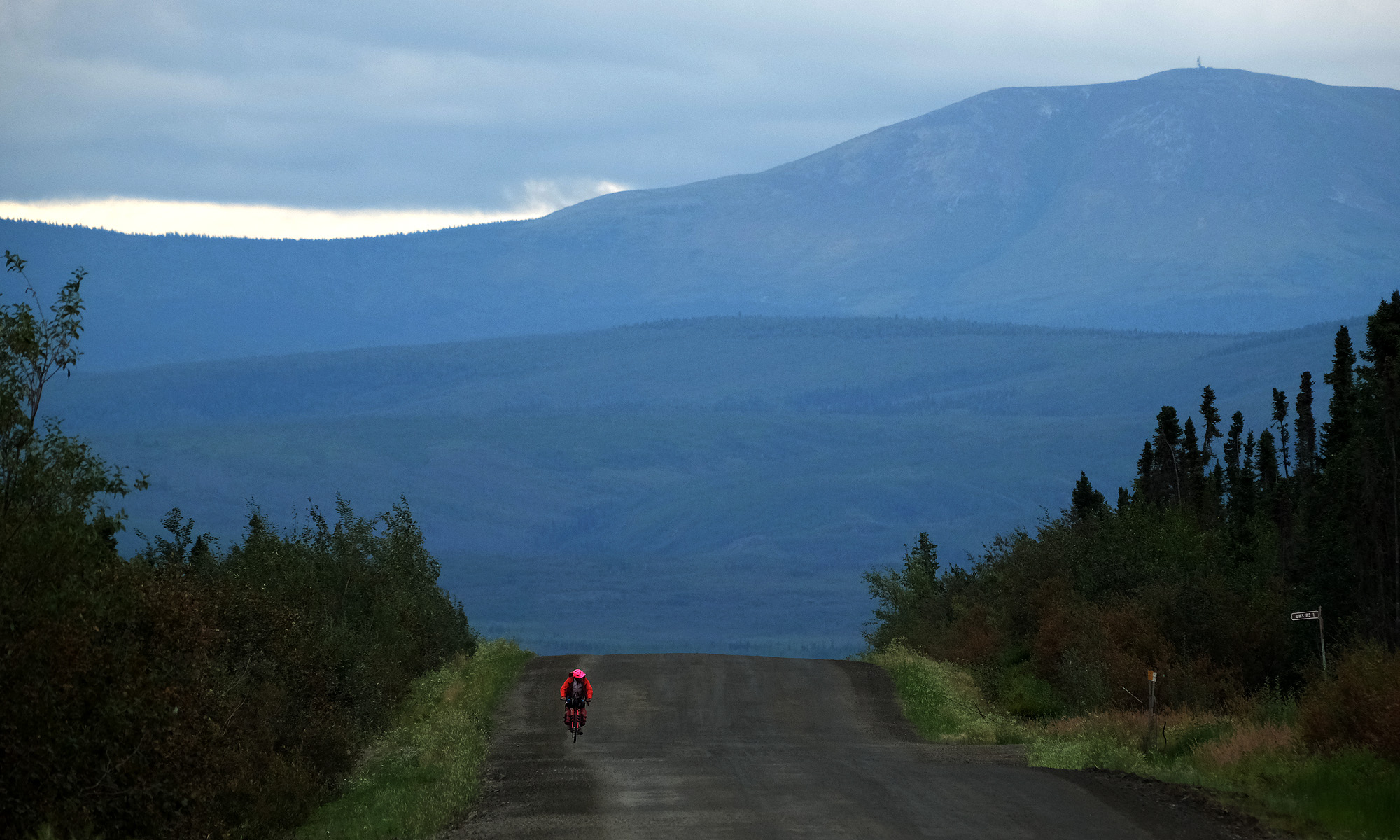
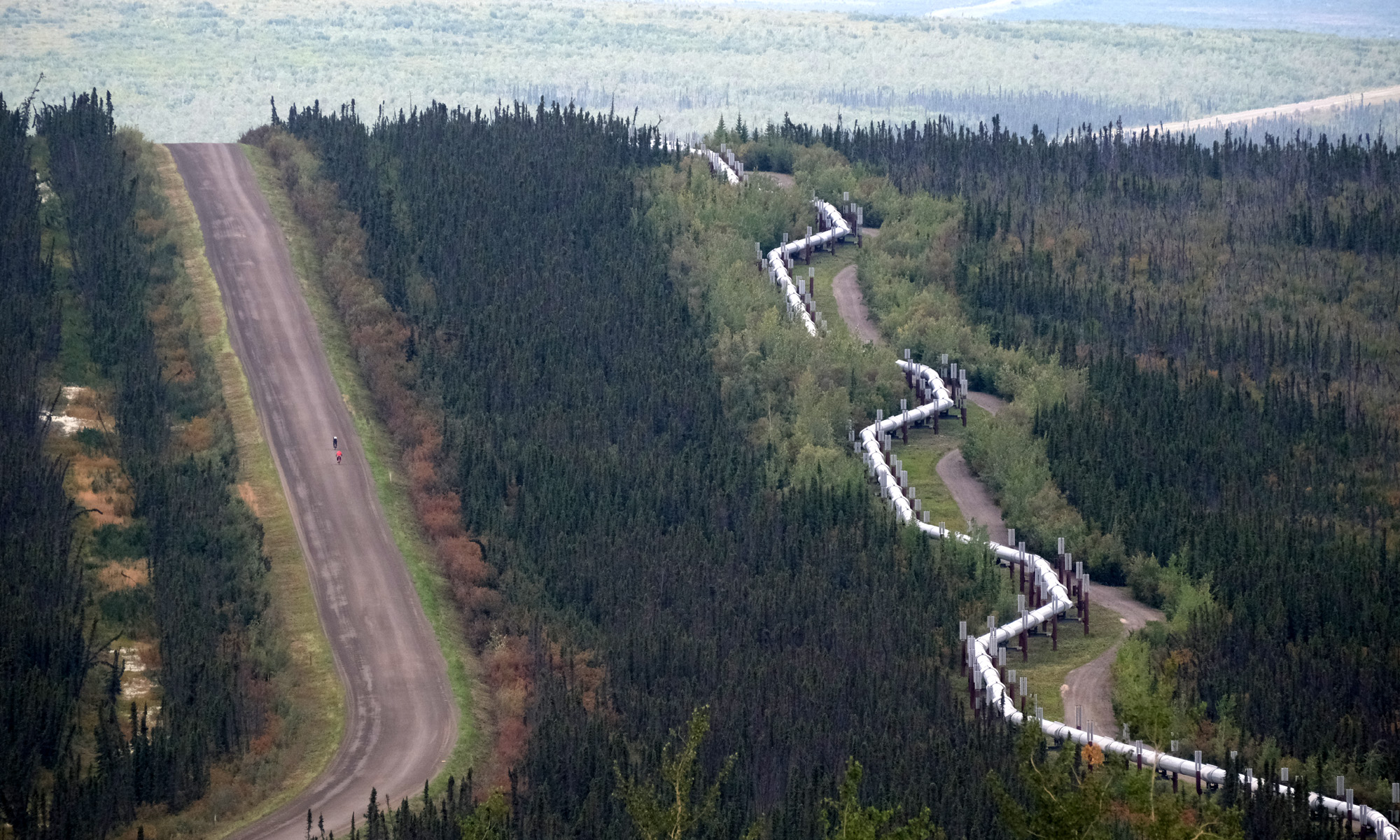
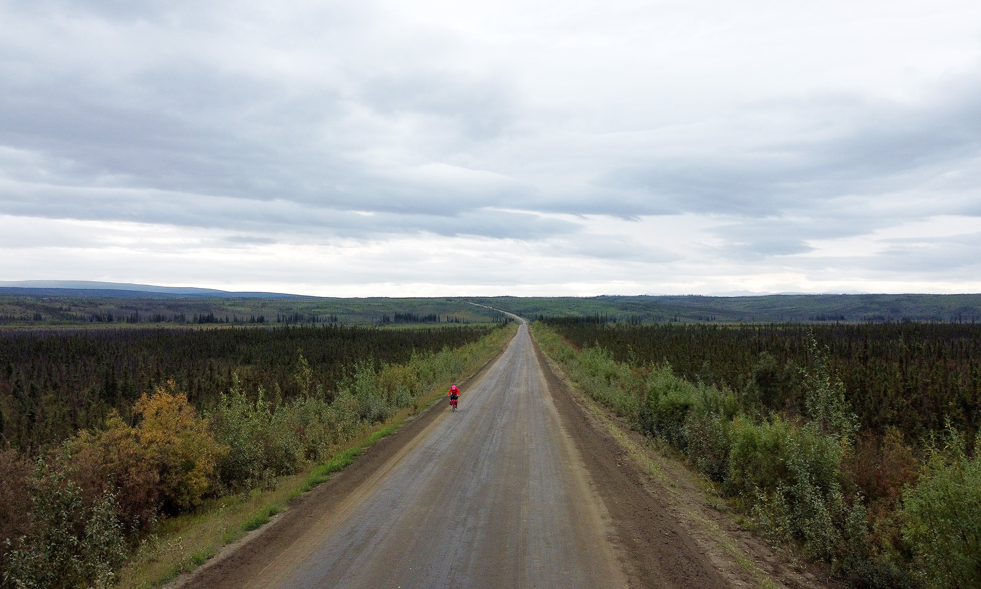
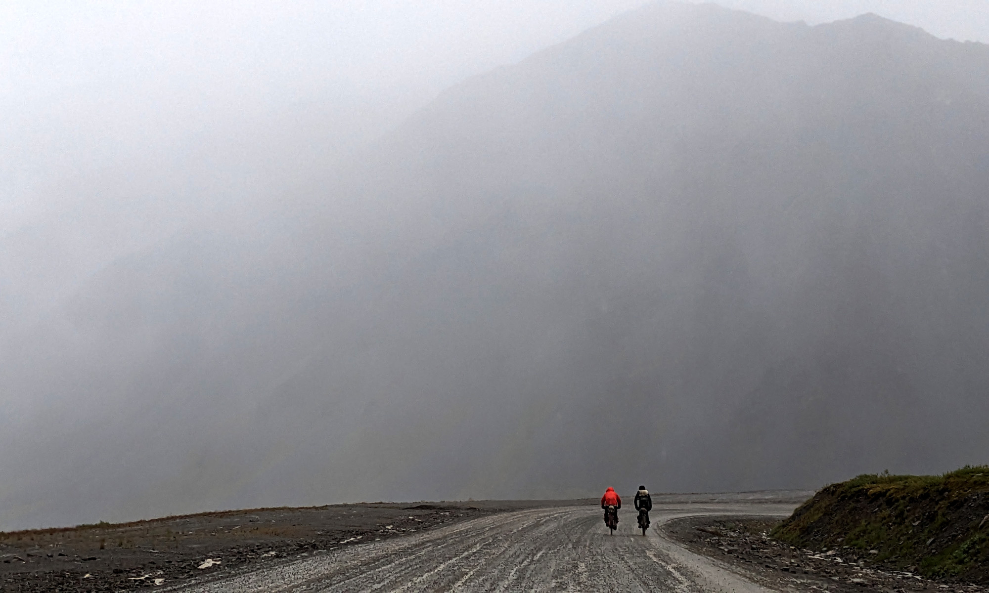
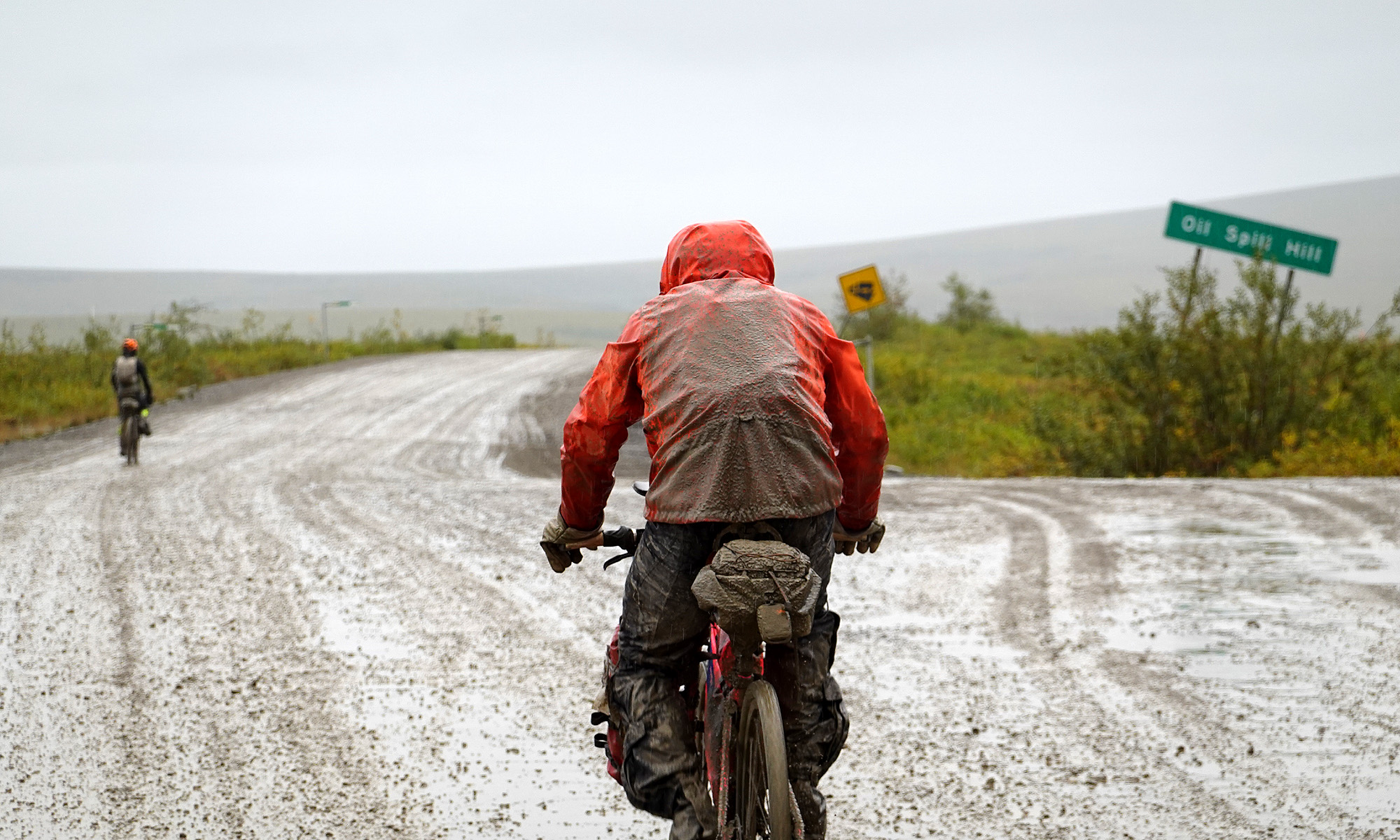
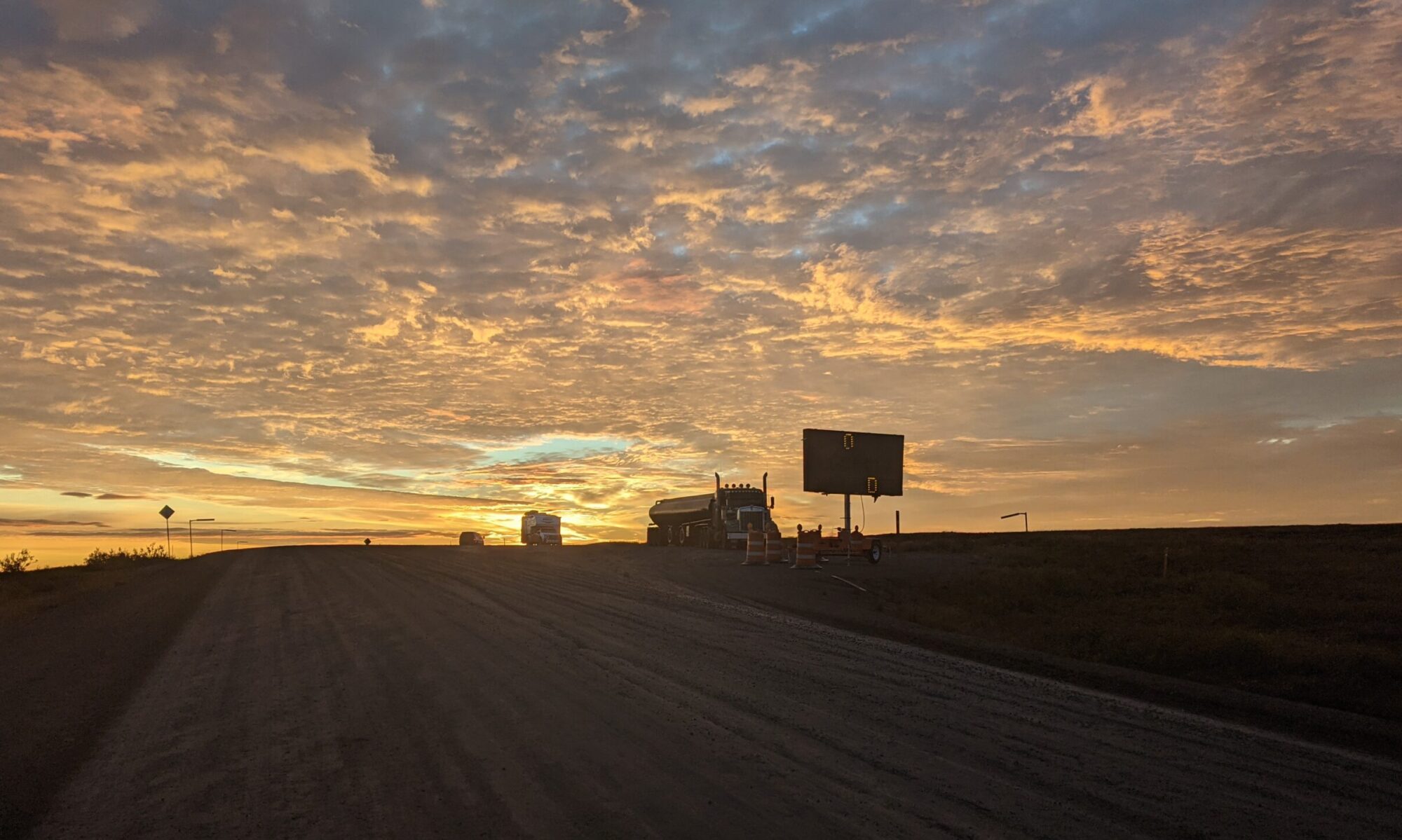
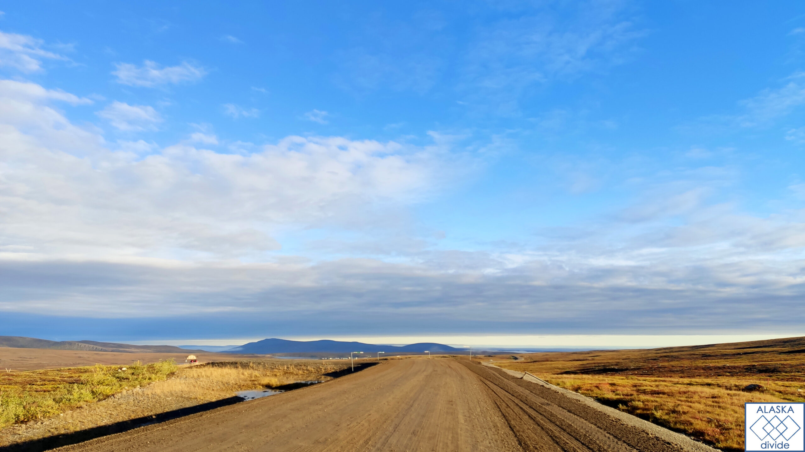
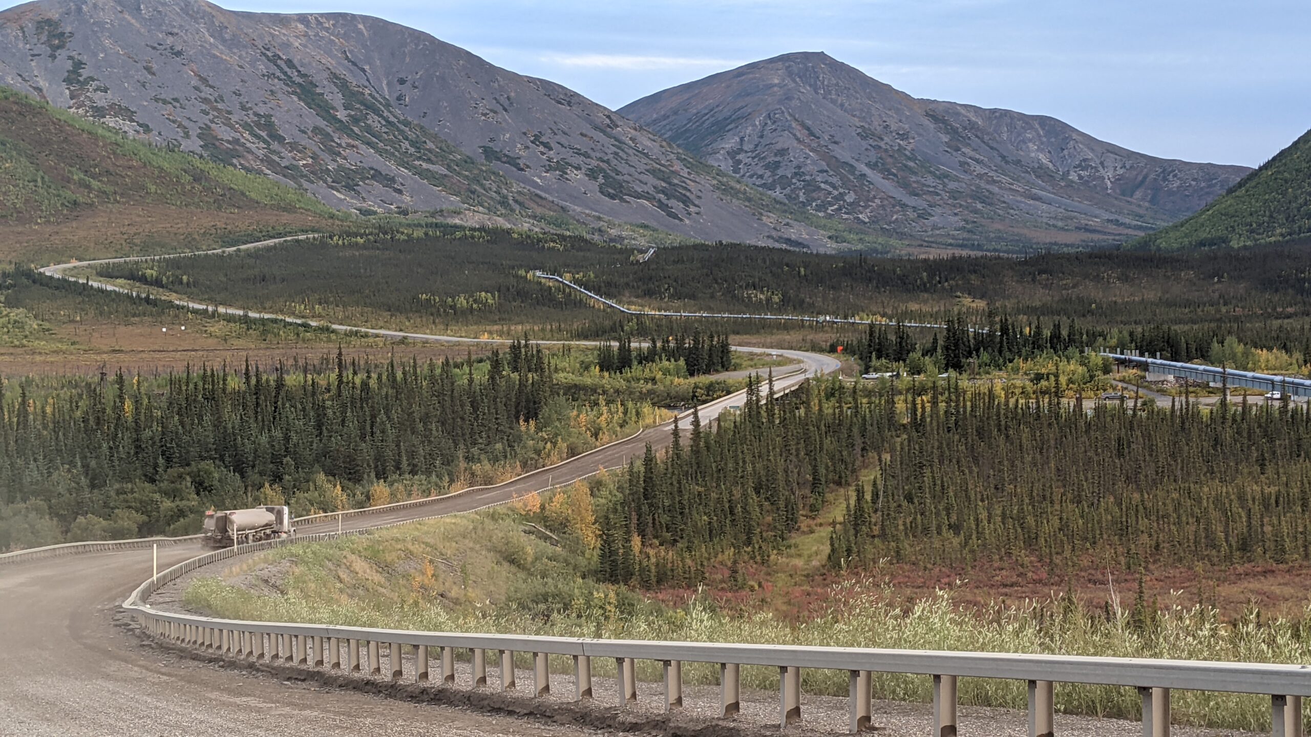
Dalton Highway
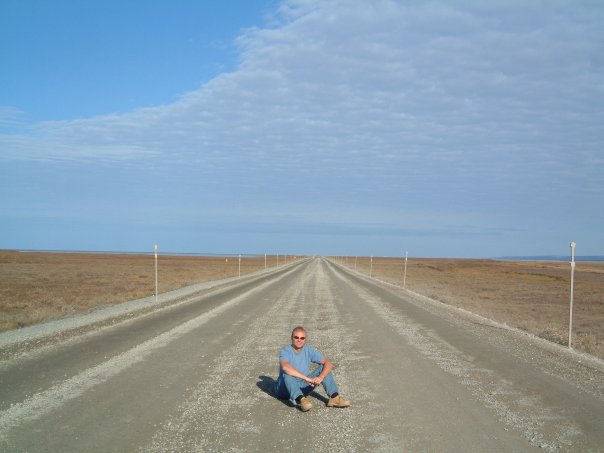
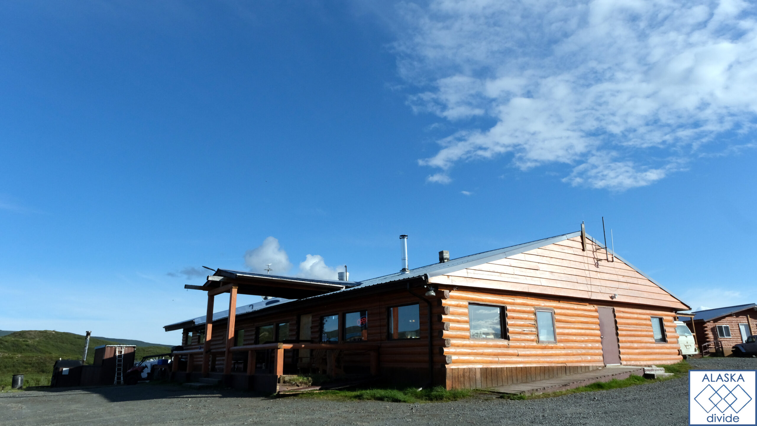
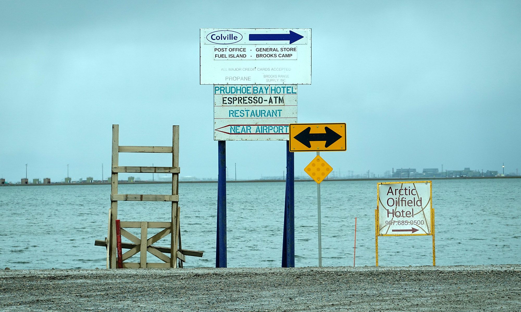
The legendary Dalton Highway stretches from Livengood to Deadhorse, paralleling the Trans-Alaska Pipeline and crossing Arctic tundra and permafrost landscapes. Cyclists brave gravel roads, challenging climbs, and the occasional Arctic weather. A notable highlight is Atigun Pass, situated approximately 120 miles north of Coldfoot. Atigun Pass, the highest point on the highway, offers stunning vistas and a challenging ascent over the Brooks Range. The journey culminates at Prudhoe Bay, where the Arctic Ocean awaits.
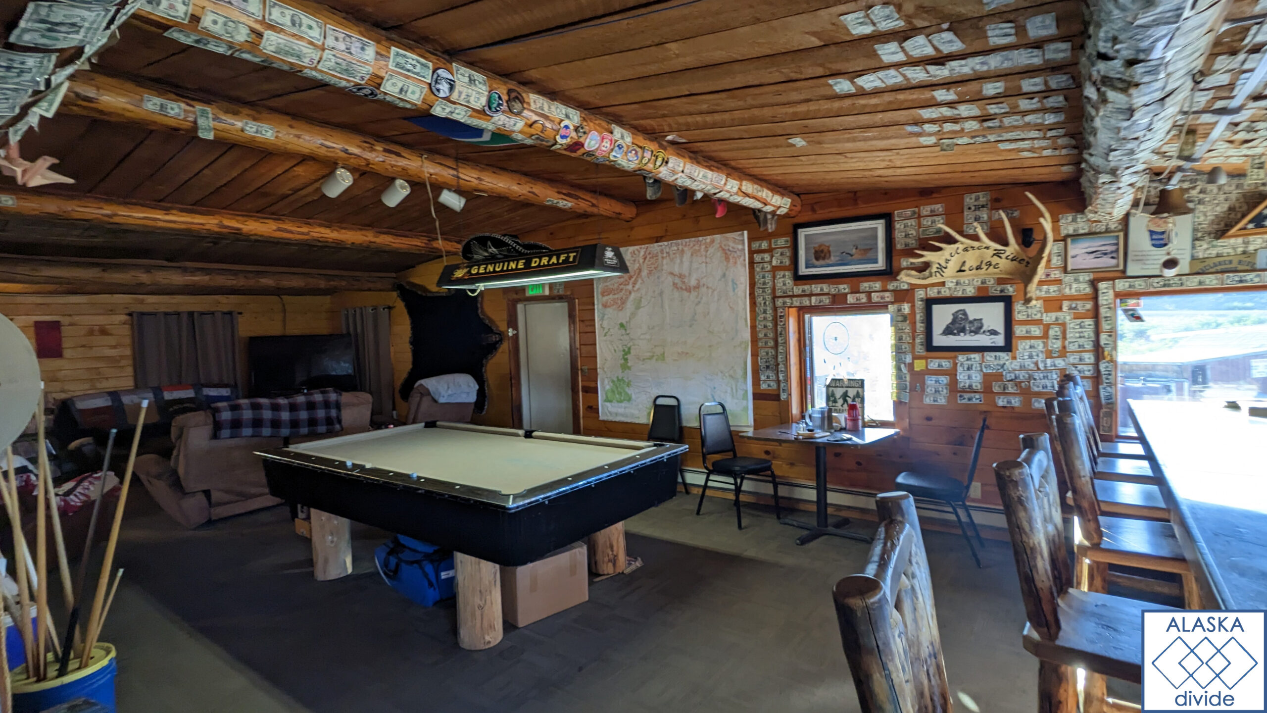
Resupply & Sleep: Livengood offers no supplies, while Yukon River Camp, Coldfoot, and Deadhorse provide services and accommodation options catering to adventurers tackling the Dalton Highway.
Conclusion
Each section of this epic cycling journey through Alaska promises a blend of natural wonders, historical sites, and challenging terrain. From the urban comforts of Anchorage to the rugged wilderness of the Dalton Highway, cyclists will experience the true essence of Alaska — a land where adventure meets history amidst awe-inspiring landscapes.